Mon-fri: 9:00-19:00
Deutsch
German
Registrieren
Login
Dateien
Stock
Foto
Video
Audio
Vektor
Offer
Collections
Packages
Lightbox
Posten
Häufigste Downloads
Beste
Populärste
Neu
Kostenlos
Drucke und Produkte
Canvas Prints
Framed Prints
Prints and Posters
Metal Prints
Acrylic Prints
iPhone Cases
Galaxy Cases
Pillows
Duvet Covers
Shower Curtain
T-Shirts
Greeting Cards
Tote Bags
Kategorien
Portrait
Tiere
Video
Seiten Infos
Über uns
Support
Datenschutzerklärung
FAQ
Kontakt
Ihr Warenkorb ist leer.
Dateien
Stock
Foto
Video
Audio
Vektor
Offer
Collections
Packages
Lightbox
Posten
Häufigste Downloads
Beste
Populärste
Neu
Kostenlos
Drucke und Produkte
Canvas Prints
Framed Prints
Prints and Posters
Metal Prints
Acrylic Prints
iPhone Cases
Galaxy Cases
Pillows
Duvet Covers
Shower Curtain
T-Shirts
Greeting Cards
Tote Bags
Kategorien
Portrait
Tiere
Video
Seiten Infos
Über uns
Support
Datenschutzerklärung
FAQ
Kontakt
Home
Katalog
Download Muster
Datei Details
Veröffentlicht:
2025-08-24 16:18:22.083864
Kategorie:
Graphic Resources
Typ:
Illustration
Model release:
NEIN
Share
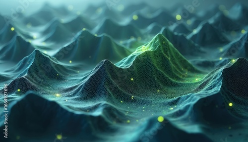
3D digital terrain map. Layered GIS geodata focuses elevation topographic details for sophisticated analysis. Digital visualisation, geographic mapping. Green, blue colors. Landform, remote sensing,
Contributor:
miss irine
ID : 1664927696
Dateien
Drucke und Produkte
Titel
Filesize
Illustration
5376x3072
Buy on Adobe Stock
Titel
Preis
kaufen
Wall Art
Canvas Prints
30 USD oder Credits
Framed Prints
10 USD oder Credits
Prints and Posters
5 USD oder Credits
Metal Prints
10 USD oder Credits
Acrylic Prints
10 USD oder Credits
Phone Cases
iPhone Cases
30 USD oder Credits
Galaxy Cases
30 USD oder Credits
Home Decor
Pillows
18 USD oder Credits
Duvet Covers
100 USD oder Credits
Shower Curtain
50 USD oder Credits
Clothes
T-Shirts
20 USD oder Credits
Souvenirs
Greeting Cards
3 USD oder Credits
Bags
Tote Bags
20 USD oder Credits
Order print
Schlüsselwörter
terrain
,
digital
,
three-dimensional
,
map
,
elevation
,
topographic
,
layered
,
cartography
,
visualisation
,
geographical
,
technology
,
remote sensing
,
landform
,
geographic
,
mapping
,
information
,
analysis
,
earth
,
surface
,
contour
,
datum
,
model
,
environment
,
landscape
,
geology
,
geography
,
nature
,
science
,
research
,
innovation
,
abstract
,
modern
,
futuristic
,
gradient
,
blue
,
green
,
pattern
,
grid
,
structure
,
network
,
detail
,
closeup
,
illustration
,
computer graphic
,
design
,
texture
,
artificial intelligence
Verwandte Artikel
 Deutsch