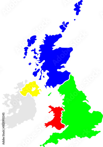
A colorful political map of the United Kingdom and Ireland, highlighting the constituent countries of England, Scotland, Wales, and Northern Ireland
Schlüsselwörter
map,
united,
kingdom,
country,
britain,
atlas,
union,
educational,
politic,
geography,
diagram,
study,
patriotic,
chart,
clip,
cartography,
government,
silhouette,
border,
administrative,
education,
earth,
political,
nation,
graphic
 Deutsch