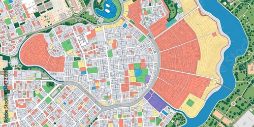
Aerial view of city plan, zoning map, and cadastral data, GIS, town planning
Schlüsselwörter
city planning,
urban development,
plot,
topography,
design,
architecture,
building,
aerial photography,
cartography,
map,
city landscape,
survey,
real estate,
construction,
infrastructure,
cadastre,
city planning,
city landscape,
street,
property,
geography,
development,
boundary
 Deutsch