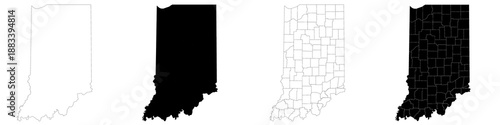
Indiana map. Indiana administrative map, Indiana outline and counties state map set - illustration version
Schlüsselwörter
black,
colours,
detailed,
blank,
set,
pattern,
silhouette,
4,
outline,
travel,
single,
element,
coloured,
district,
border,
shape,
group,
map,
simple,
town,
boundary,
background,
coastline,
borough,
map,
shoreline,
in,
america,
state,
drawing,
indiana,
highlighted,
cartography,
city,
serial,
series,
county,
line,
province,
isolated,
contour,
district,
design,
us,
empty,
city
 Deutsch