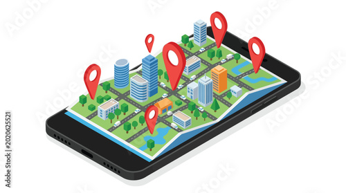
Isometric 3D flat vector mobile map utilizing GIS, Remote Sensing, WebGIS, and GeoAI for smart urban navigation and spatial analysis
Schlüsselwörter
remote sensing,
mobile,
mapping,
technology,
urban,
navigation,
location,
intelligence,
smart,
city,
service,
connectivity,
logistic,
efficiency,
find,
planning,
management,
guide,
end,
global,
help,
cartography,
future,
advanced,
software,
map,
innovation,
system,
network,
earth,
precision,
marker,
see,
positioning,
start,
datum,
direction,
explore,
point,
cyberspace,
work,
development,
interactive,
visualisation,
accuracy
 Deutsch