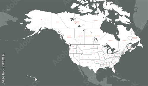
North American Countries Map.
The main boundary map of Canada, the United States.
Schlüsselwörter
state,
northern,
north american,
american,
canadian,
hawaii,
los angeles,
ottawa,
washington,
quebec,
alaska,
america,
america,
atlantic,
border,
business,
canada,
cartography,
city,
continent,
contour,
country,
country,
design,
detail,
education,
geographical,
geography,
graphic,
illustration,
infographic,
information,
isolated,
map,
nation,
north america,
outline,
political,
silhouette,
state,
template,
territory,
travel,
us,
us,
us,
vector,
wallpaper
 Deutsch