Ihr Warenkorb ist leer.


Download Muster
Datei Details
Veröffentlicht: 2024-08-24 13:36:19.608233 Kategorie: Travel Typ: Vektor Model release: JA
Share
       

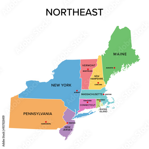
Northeast, U.S. census region, multi colored political map. Census region 1 of the United States, consisting of 9 single states. Colored silhouettes of single states with borders and their capitals.

Contributor: Peter Hermes Furian
ID : 937828419

TitelFilesize
Vektor3873x3873


Buy on Adobe Stock

Schlüsselwörter
northeast, northeastern, census, region, us, map, us, state, division, subdivision, silhouette, east coast, american, america, capital, border, boundary, geographical, group, new england, new york city, new jersey, pennsylvania, maine, rhode island, vermont, connecticut, new hampshire, massachusetts, datum, classification, statistic, administration, system, country, mapping, atlas, overview, geography, cartography, infographic, many-coloured, colours, isolated, illustration