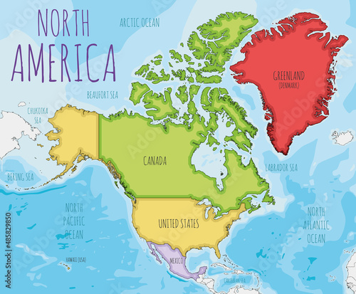
Political North America Map vector illustration with different colors for each country. Editable and clearly labeled layers.
Schlüsselwörter
north america,
us,
canada,
mexico,
greenland,
america,
continent,
earth,
detailed,
map,
cartoon,
colourful,
colours,
sea,
ocean,
graphic,
illustration,
isolated,
geography,
flat,
modern,
vector,
travel,
planet,
education,
earth,
cartography,
art,
white,
land,
country,
border,
background,
design,
global,
atlas,
topography,
info,
infographic,
information,
political
 Deutsch