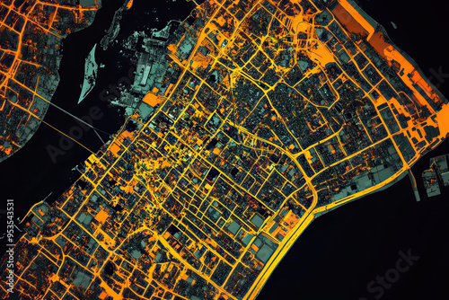
Technical aerial visual, 3D LiDAR GIS aerial map satellite scan model isolated, showing Phnom Penh, Cambodia. Elevation, topography, render
Schlüsselwörter
phnom penh,
cambodia,
echo,
city,
urban,
vibrant,
black background,
technical,
visual,
three-dimensional,
aerial,
map,
scan,
satellite,
colourful,
colourful,
isolated,
model,
city centre,
elevation,
topography,
datum,
terrain,
landscape,
visualisation,
remote,
digital,
perspective,
geographic,
information,
system,
cartography,
survey,
accuracy,
modelling,
analysis,
feature,
landmark,
metropolitan,
infrastructure,
architecture,
city landscape
 Deutsch