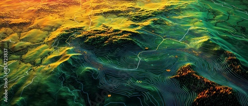
Topographic map displays forested hills using elevation lines, providing clear spatial data representation.
Schlüsselwörter
contour,
aerial view,
landscape,
visualisation,
topography,
cartography,
mountain chain,
vegetation,
geography,
morphology,
forest,
pathway,
remote sensing,
earth science,
mapping,
landform,
geodesy,
hillside
 Deutsch