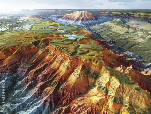
Utilize terrain visualization software for detailed analysis and mapping of geographical features Essential for planners, geologists, and researchers
Schlüsselwörter
utilize,
terrain,
visualisation,
software,
detailed,
analysis,
mapping,
geographical,
feature,
essential,
geography,
tool,
technology,
spacial,
datum,
tool,
geographic,
information,
system,
topography,
three-dimensional,
modelling,
system,
environmental,
planning,
engineering,
geology,
research,
application,
landscape,
topographic,
digital,
elevation,
model,
land,
development,
use,
for
 Deutsch