Mon-fri: 9:00-19:00
Deutsch
German
Registrieren
Login
Dateien
Stock
Foto
Video
Audio
Vektor
Offer
Collections
Packages
Lightbox
Posten
Häufigste Downloads
Beste
Populärste
Neu
Kostenlos
Drucke und Produkte
Canvas Prints
Framed Prints
Prints and Posters
Metal Prints
Acrylic Prints
iPhone Cases
Galaxy Cases
Pillows
Duvet Covers
Shower Curtain
T-Shirts
Greeting Cards
Tote Bags
Kategorien
Portrait
Tiere
Video
Seiten Infos
Über uns
Support
Datenschutzerklärung
FAQ
Kontakt
Ihr Warenkorb ist leer.
Dateien
Stock
Foto
Video
Audio
Vektor
Offer
Collections
Packages
Lightbox
Posten
Häufigste Downloads
Beste
Populärste
Neu
Kostenlos
Drucke und Produkte
Canvas Prints
Framed Prints
Prints and Posters
Metal Prints
Acrylic Prints
iPhone Cases
Galaxy Cases
Pillows
Duvet Covers
Shower Curtain
T-Shirts
Greeting Cards
Tote Bags
Kategorien
Portrait
Tiere
Video
Seiten Infos
Über uns
Support
Datenschutzerklärung
FAQ
Kontakt
Suchen
Schlüsselwörter:
Creator ID:
Typ:
Foto
Illustration
Vektor
Video
Template
3d
Kategorien:
Animals
Buildings and Architecture
Business
Drinks
The Environment
States of Mind
Food
Graphic Resources
Hobbies and Leisure
Industry
Landscapes
Lifestyle
People
Plants and Flowers
Culture and Religion
Science
Social Issues
Sports
Technology
Transport
Travel
News
Entertainment
Sport News
Sprachen:
Brazilan Portuguese - Brazil
English - Canada
French - Canada
Spanish - Mexico
English - United States
English - Belgium
French - Belgium
Dutch - Belgium
Czech - Czech Republic
English - Cyprus
Danish - Danmark
German - Germany
English - Estonia
Spanish - Spain
French - France
French - Marocco
English - Greece
English - Ireland
Italian - Italia
English - Latvia
English - Lithuania
German - Luxembourg
English - Luxembourg
French - Luxembourg
English - Hungary
English - Malta
Dutch - Nederlands
Bokmal Norwegian - Norway
German - Austria
Polish - Poland
Portuguese - Portugal
English - Romania
German - Switzerland
English - Slovenia
Slovakian - Slovakia
French - Switzerland
English - Finland
Swedish- Sweden
Italian - Switzerland
English - United Kingdom
English - Bulgaria
English - Australia
Japanese - Japan
Korean - South Korea
English - New Zealand
Russian - Russia
English - Ukrain
English - Thailand
Ausrichtung:
Alle
Horizontal
Vertical
square
Farbe:
Model property release:
Alle
JA
NEIN
Laufzeit Video:
Alle
Up to 10 seconds
Up to 20 seconds
Longer than 30 seconds
Resultat
(0)
in die Webseite
Getty/iStock
Shutterstock
Fotolia
Depositphotos
123rf
Bigstockphoto
Pixabay
Adobe Stock
Relevance
Neu
Populärste
Häufigste Downloads
Undiscovered
12
24
36
48
96
Automatisch Seiten erstellen (Auto paging)
Menue
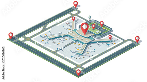
Isometric 3D flat vector airport showing GIS, Remote Sensing, WebGIS, and GeoAI for advanced urban planning and smart transportation analytics
Leveraging advanced GIS, Remote Sensing, WebGIS, and GeoAI on mobile devices for futuristic location intelligence and interactive geospatial data visualization, featuring an isometric design
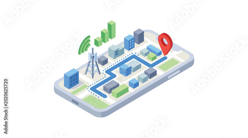
Isometric smartphone with interactive map showing urban navigation, highlighting advanced GIS, Remote Sensing, WebGIS, and GeoAI for smart city planning and location intelligence
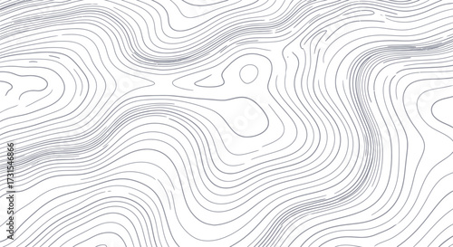
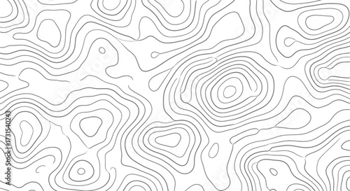
Flowing abstract topographic map background with wavy grey contour lines representing stylized terrain relief and elevation
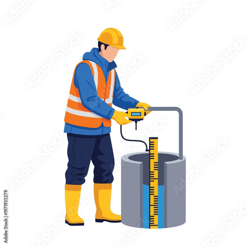
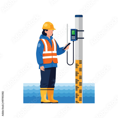
Professional worker in protective gear measuring groundwater levels in a well using a digital water level meter for hydrogeological assessment and environmental monitoring
Illustration of a young woman acting as a remote pilot drone, controlling a drone with a remote
Expert technician in protective workwear checking water levels with a digital sensor and gauge, showcasing essential environmental monitoring and water resource management efforts
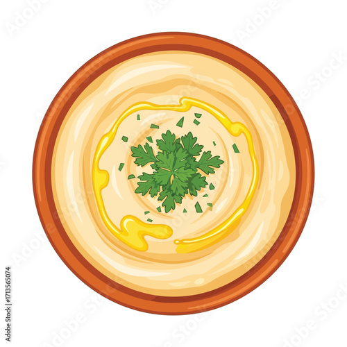
Savory creamy hummus dip, garnished with fresh parsley and a swirl of olive oil, served in a rustic bowl. A classic healthy Mediterranean appetizer illustration
Aerial drone technology revolutionizing agriculture, enabling precision farming and crop health monitoring across vibrant fields
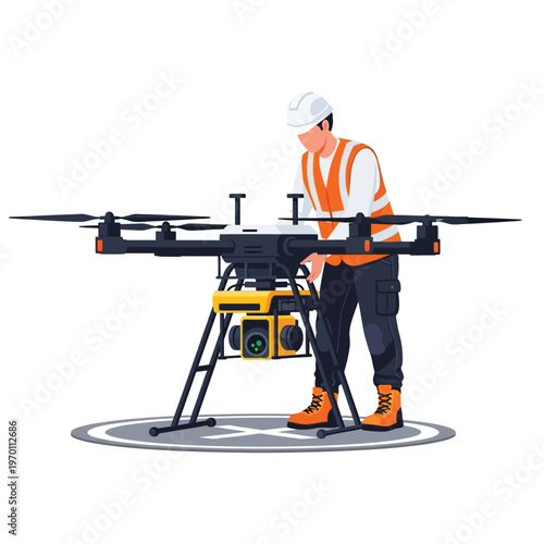
Person in safety gear inspecting a large drone on a landing pad, aerial technology inspection
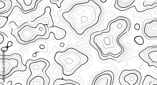
Topographic map lines in teal on white background, abstract design.
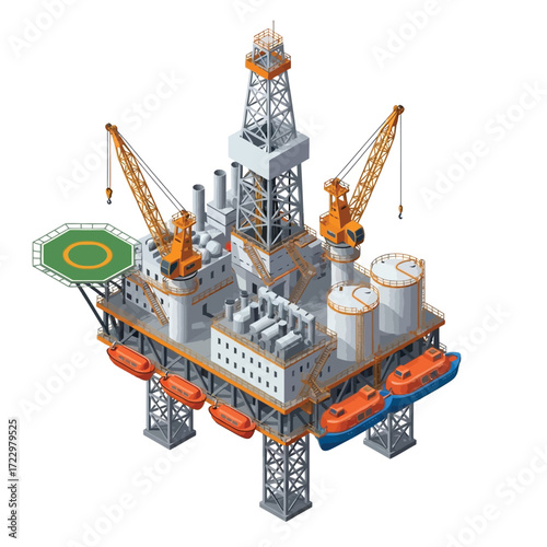
Offshore Oil Rig Isometric Illustration of an Oil Platform
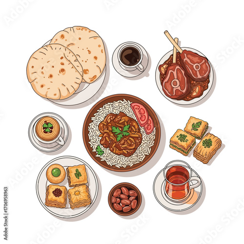
A variety of Middle Eastern dishes, including flatbread, lamb, rice, and baklava.
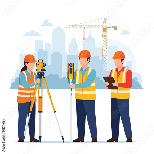
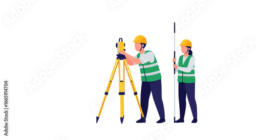
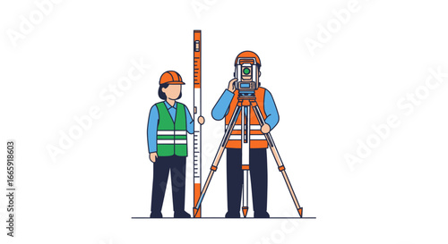
Two surveyors using surveying equipment on a construction site to measure and map the area.
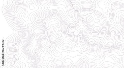
Topographic Map Lines in Light Purple on White Background
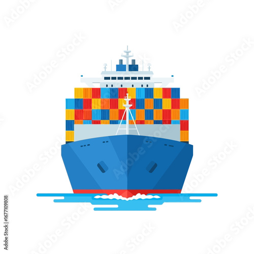
A detailed front view of a cargo container ship sailing on the water. A flat vector illustration representing global logistics and maritime freight
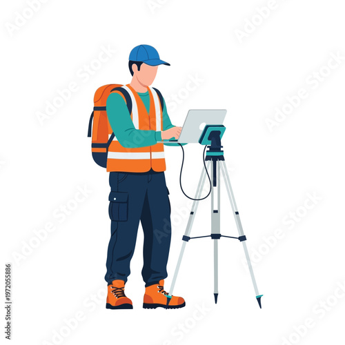
Surveyor with laptop and surveying equipment, professional land surveyor in reflective vest and backpack standing with survey tripod and laptop on white background, illustration
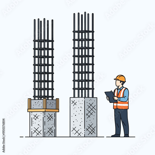
Construction engineer inspecting reinforced concrete columns on a building site, meticulously checking rebar and structural integrity for quality assurance and safety in urban development
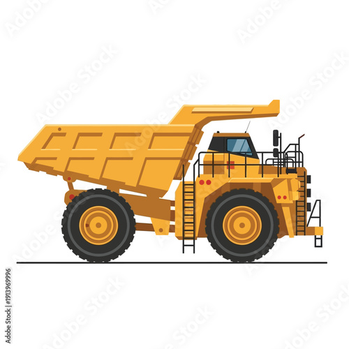
Large yellow mining truck, heavy-duty vehicle used for transporting materials in mines and construction sites
Construction professionals using surveying equipment and taking measurements on a city skyline background
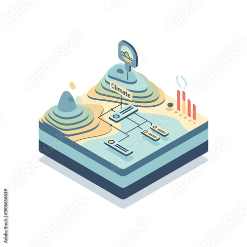
Digital Climate Data Analysis and Environmental Monitoring System Illustrated with Isometric Landscape Layers and Interactive Information Flow for Sustainability
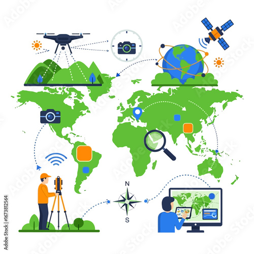
Integrated Geospatial Information System showing drone photogrammetry, satellite navigation, and modern land surveying for global cartography
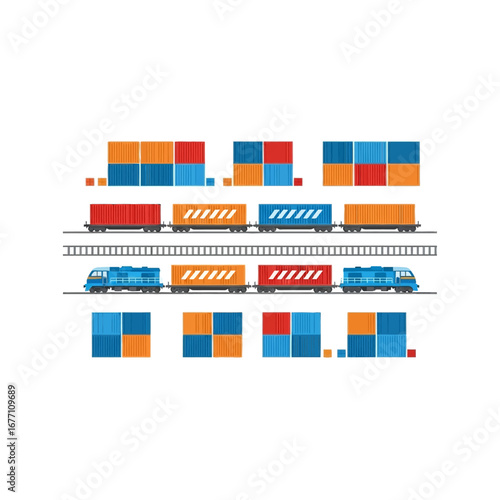
Vector illustration set for freight logistics, featuring cargo trains, colorful shipping containers, and railroad tracks, symbolizing efficient global transportation and delivery services
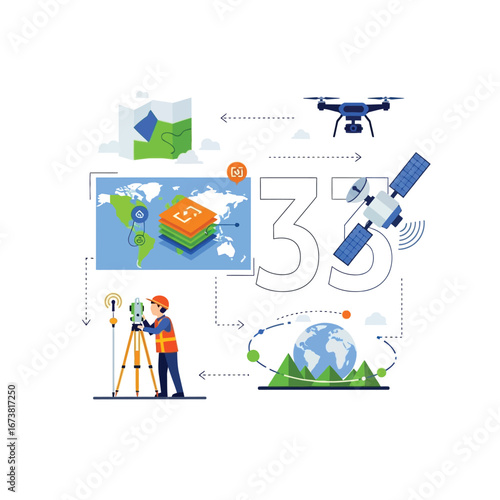
Geospatial technology concept illustrating land surveying with a surveyor, drone, satellite, and 3D mapping data
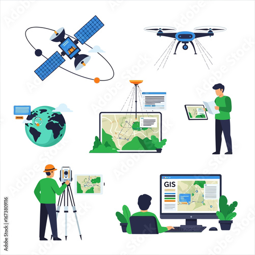
Modern GIS technology and surveying equipment for accurate mapping and data collection
Surveyors using leveling equipment on a construction site, wearing safety gear.
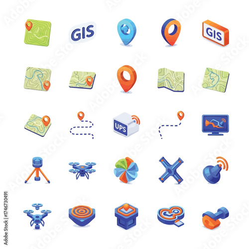
Collection of geospatial technology and navigation icons, representing GIS, GPS, and location services
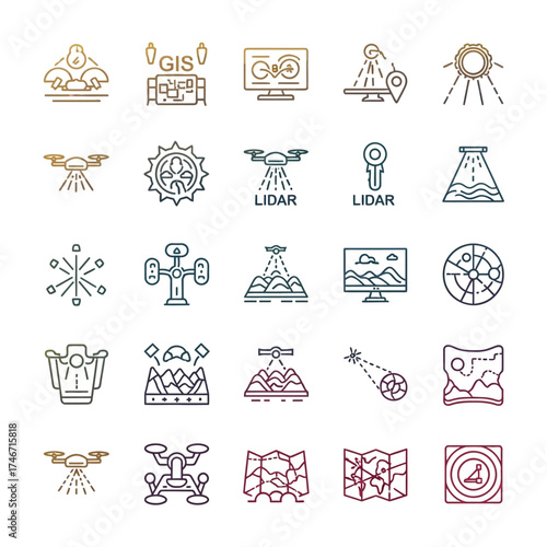
Comprehensive Set of Geospatial Technology Line Icons Featuring Remote Sensing, Drone Mapping, Data Analysis, and Location-Based Services
Abstract topographic map lines creating a contour pattern on a white background, representing elevation changes.
Monochrome abstract background of flowing contour lines. Generative vector illustration resembling a topographic relief map
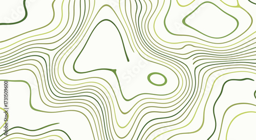
Abstract topographic contour lines in shades of green on a white background, representing elevation and geography
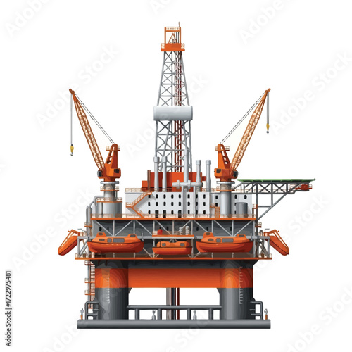
Realistic vector graphic of an offshore oil rig, showcasing a detailed industrial drilling platform for fossil fuel exploration and production
 Deutsch