Mon-fri: 9:00-19:00
Deutsch
German
Registrieren
Login
Dateien
Stock
Foto
Video
Audio
Vektor
Offer
Collections
Packages
Lightbox
Posten
Häufigste Downloads
Beste
Populärste
Neu
Kostenlos
Drucke und Produkte
Canvas Prints
Framed Prints
Prints and Posters
Metal Prints
Acrylic Prints
iPhone Cases
Galaxy Cases
Pillows
Duvet Covers
Shower Curtain
T-Shirts
Greeting Cards
Tote Bags
Kategorien
Portrait
Tiere
Video
Seiten Infos
Über uns
Support
Datenschutzerklärung
FAQ
Kontakt
Ihr Warenkorb ist leer.
Dateien
Stock
Foto
Video
Audio
Vektor
Offer
Collections
Packages
Lightbox
Posten
Häufigste Downloads
Beste
Populärste
Neu
Kostenlos
Drucke und Produkte
Canvas Prints
Framed Prints
Prints and Posters
Metal Prints
Acrylic Prints
iPhone Cases
Galaxy Cases
Pillows
Duvet Covers
Shower Curtain
T-Shirts
Greeting Cards
Tote Bags
Kategorien
Portrait
Tiere
Video
Seiten Infos
Über uns
Support
Datenschutzerklärung
FAQ
Kontakt
Suchen
Schlüsselwörter:
Creator ID:
Typ:
Foto
Illustration
Vektor
Video
Template
3d
Kategorien:
Animals
Buildings and Architecture
Business
Drinks
The Environment
States of Mind
Food
Graphic Resources
Hobbies and Leisure
Industry
Landscapes
Lifestyle
People
Plants and Flowers
Culture and Religion
Science
Social Issues
Sports
Technology
Transport
Travel
News
Entertainment
Sport News
Sprachen:
Brazilan Portuguese - Brazil
English - Canada
French - Canada
Spanish - Mexico
English - United States
English - Belgium
French - Belgium
Dutch - Belgium
Czech - Czech Republic
English - Cyprus
Danish - Danmark
German - Germany
English - Estonia
Spanish - Spain
French - France
French - Marocco
English - Greece
English - Ireland
Italian - Italia
English - Latvia
English - Lithuania
German - Luxembourg
English - Luxembourg
French - Luxembourg
English - Hungary
English - Malta
Dutch - Nederlands
Bokmal Norwegian - Norway
German - Austria
Polish - Poland
Portuguese - Portugal
English - Romania
German - Switzerland
English - Slovenia
Slovakian - Slovakia
French - Switzerland
English - Finland
Swedish- Sweden
Italian - Switzerland
English - United Kingdom
English - Bulgaria
English - Australia
Japanese - Japan
Korean - South Korea
English - New Zealand
Russian - Russia
English - Ukrain
English - Thailand
Ausrichtung:
Alle
Horizontal
Vertical
square
Farbe:
Model property release:
Alle
JA
NEIN
Laufzeit Video:
Alle
Up to 10 seconds
Up to 20 seconds
Longer than 30 seconds
Resultat
(0)
in die Webseite
Getty/iStock
Shutterstock
Fotolia
Depositphotos
123rf
Bigstockphoto
Pixabay
Adobe Stock
Relevance
Neu
Populärste
Häufigste Downloads
Undiscovered
12
24
36
48
96
Automatisch Seiten erstellen (Auto paging)
Menue
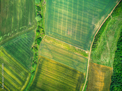
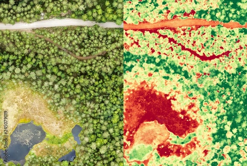
Aerial orthomosaic and NDVI image of boggy forest
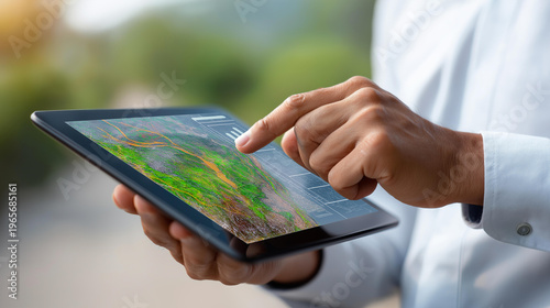
GIS specialist using a tablet with a digital interface overlay showing geospatial data, satellite imagery, and geographic mapping trends, spatial analysis concept, defocused
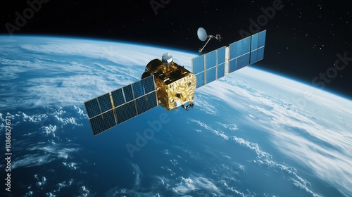
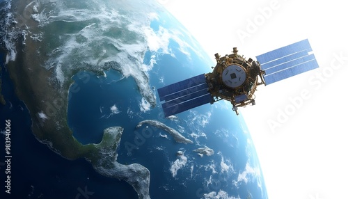
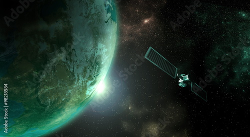
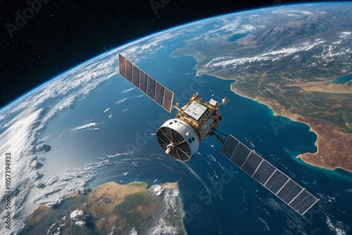
Earth satellite
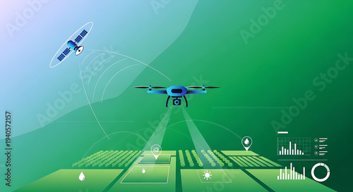
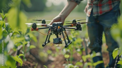
A vector graphic illustration of a drone flying over a farm with a satellite in the sky, surrounded by various icons and graphics representing technology and data analysis.
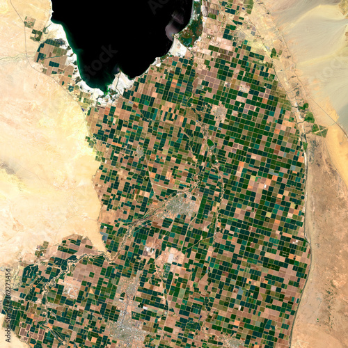
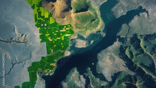
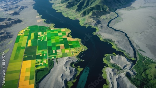
Satellite view of Dijon region, France. European farmland mosaic on open data satellite imagery
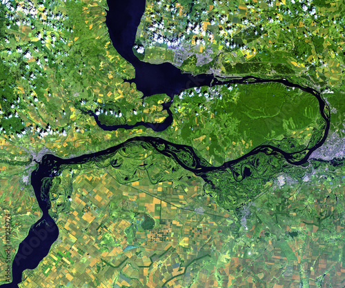
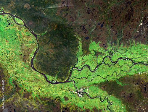
Volga river from Landsat satellite. Elements of this image furnished by NASA.
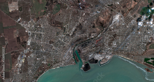
Satellite image of Mariupol, taken on March 29, 2022. Contains modified Copernicus Sentinel data (2022).
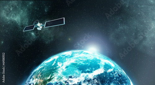
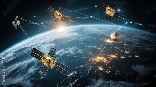
Global Satellite Network Orbiting Earth
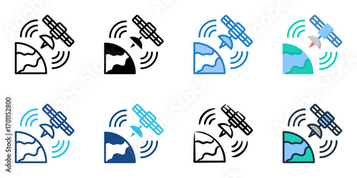
Remote Sensing icon set multiple style collection
Satellite Technology Tracking Crop Yields: Data-Driven Agriculture with Geospatial Analytics
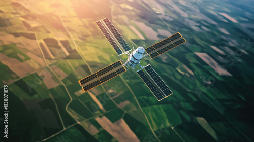
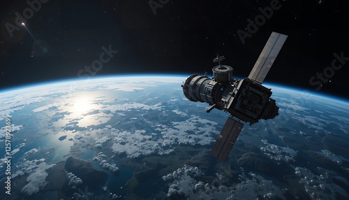
Satellite Orbiting Earth: Technology and Innovation - Satellite in Earth orbit showcasing global communication, technological advancement, space exploration, future innovation, and global connectivity
A satellite and earth representing remote sensing technology isolated on a white background
A modern farmer analyzing crop health in a soybean field using a digital tablet for precision agriculture. Emphasizing the role of technology in farming, this image highlights agri
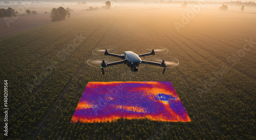
Drone Overviews Agricultural Field with Thermal Imaging for Irrigation Monitoring in Golden Light
High-Resolution Satellite Orbiting Earth: Stunning View of Planet Earth from Space
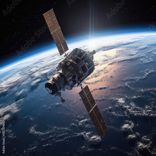
Advanced Orbital Satellite in Earth's Atmosphere
Satellite imagery in false colors illustrating crops located between ash and wood borders.
Drone's Eye View: A New Perspective on Agricultural Patterns. Aerial Agriculture: Uncovering Patterns from Above.
Image satellite of the presence crops and andcities. Sonora desert of Brawley, California, EUA. Observation of the surface of the earth from the sky. Generated and modified from satellite images.
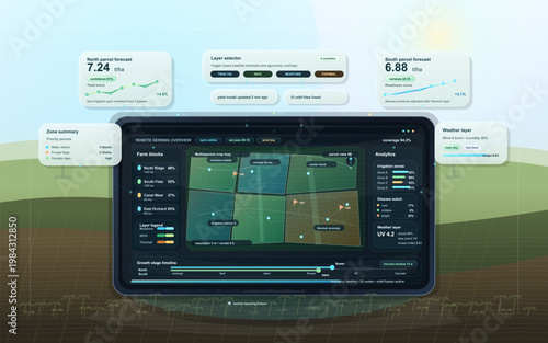
Smart farming dashboard interface with remote sensing crop map, yield forecast panels, and precision agriculture analytics
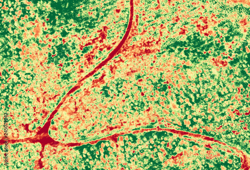
Aerial NDVI image of forest with small roads
3D digital terrain map. Layered GIS geodata focuses elevation topographic details for sophisticated analysis. Digital visualisation, geographic mapping. Green, blue colors. Landform, remote sensing,
Planet earth with satellite
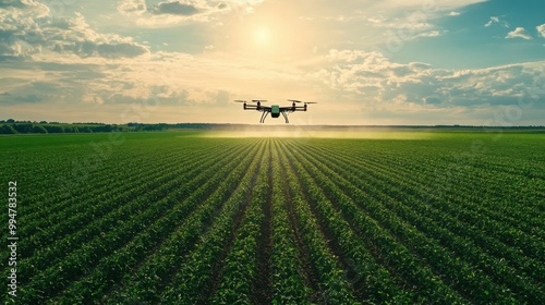
Aerial Farming with Drone Over Fields
Y2K-inspired remote sensing satellite with pixelated disintegration.
Ob river (summer) from Landsat satellite. Elements of this image furnished by NASA.
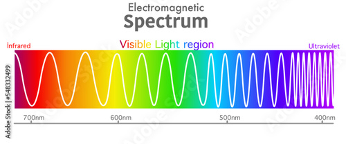
Visible electromagnetic spectrum diagram. Ultraviolet to infrared radiation. Wavelength range. Red, orange, yellow, green, blue, purple, violet color light, rainbow. Ultra violet to infra red. Vector
Close-up of a farmer using advanced drone technology for crop monitoring.
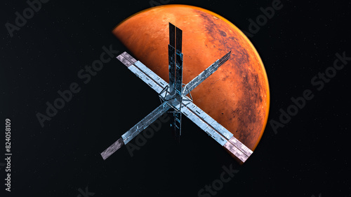
GeoModule Satellite Orbiting a Mars-like Planet in Space
Satellite Orbiting Earth: A high-resolution image of a communications satellite orbiting Earth, capturing its intricate design and the vastness of space.
False-color satellite images displaying crops amid ash and wood boundaries.
Stunning Satellite in Low Orbit Over Earth - Telecommunications Technology in Space
 Deutsch